Brains
Well-known member
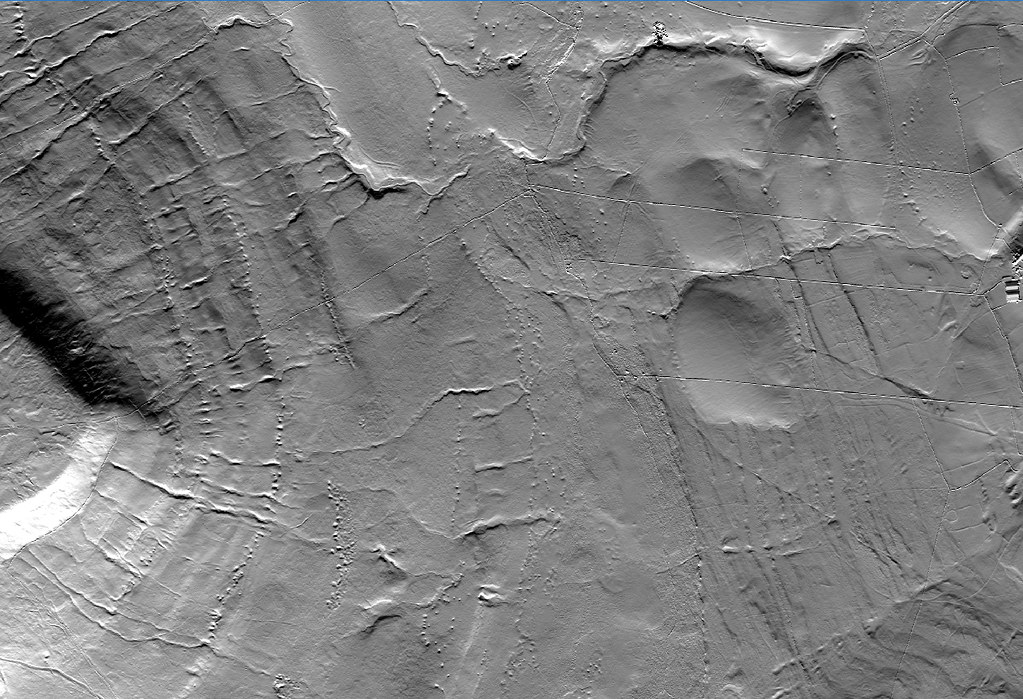
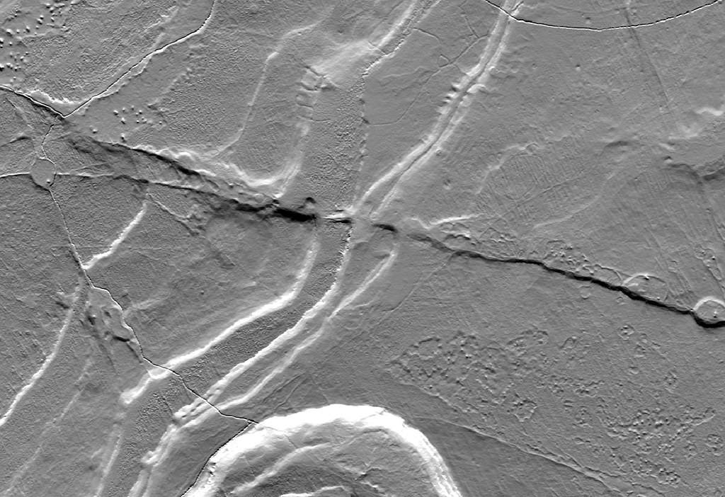
http://gizmodo.com/england-uploads-free-digital-model-of-the-entire-countr-1736479364
This data may be of use for surface research of caving and mining areas. Specified as England only. Anyone with GIS skills want to have a play and evaluate its usefulness?
This data may be of use for surface research of caving and mining areas. Specified as England only. Anyone with GIS skills want to have a play and evaluate its usefulness?