Seriously - if your after one in the Peak District - Bagshawe is the place you want to be.
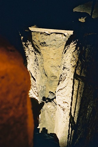
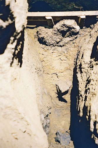
There are large banks of undisturbed sediment all over the cave.
It goes 'into flood' least once a year, but probably about 3 times a year on average. And by Flood, what I mean is that the main trunk route of the cave is an overflow for the stream passage that runs at a lower level. In times of sudden and high water flow, such as this week with all the snow melt, The volume of water is too great for the stream passage, and it backs up, then overflows along the upper series, until it falls down a pitch and eventually rejoins the stream in the lower series.
The advantage I can see is that you have areas of kind of static water, where it does drop a large amount of sediment in very distinct layers. these are in the 'backing up' part of the cave, You also have areas of turbulent flow, where the sediments will presumably display different properties, in the overflow section.
To add another dimension, you've also got abandoned areas of sediment, where the highest flood levels no longer reach, presumably due to the continual down cutting of the stream.
Surely an interesting study to try and match some of the layers in the abandoned areas with the deeper layers for the still active areas.
Just my two peneth, PM me or 'Johnny' on this site for more info.