dudley bug
Member
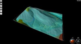
Just had an email from the BGS today which included a link to a new 3D geology map of the UK.
Looks really good and have spent a little while looking at the caving areas on it this evening.
It also overlays boreholes that they have in their records, some of which you can view the reports from, and some that are confidential.
This may be of interest / use to people.
http://mapapps.bgs.ac.uk/geologyofbritain3d/index.html
")