Water levels?

martinb

Member
Seen that we have had bugger all rain for two weeks or so, what are the levels like across the county?

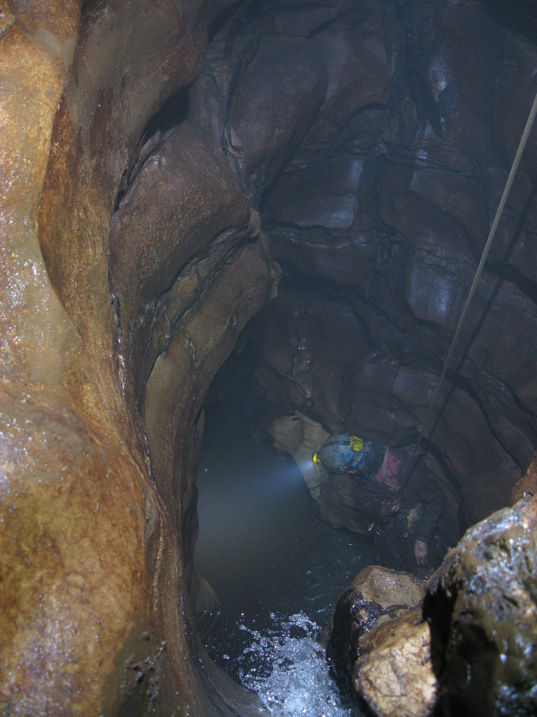
I did P8 on 29th March and the two pitches were veritable dribbles (Although Markc did part his fat arse in the lip of the second pitch as I was prussiking up trying to get me wet!)  :LOL:

In Stoney Middleton, the Delph stream dries up towards the bottom of the Delph, and the Watergrove Streamway has not had water flowing at the junction with Hawkenedge Well for the best part of three weeks. Hawkenedge Well flow rate seems lower than normal.

Any others?
 

JonP

Well-known member
The flooded shaft at in the Cartgate (JH) are about 12ft down. A couple of sumps in Bagshawe have dropped enabling us to reach the good stuff. It was this time last year we got to sump 5 in Merlins. Anyone fancy a trip?
 

dunc

New member
Don't know how relevant it is, nor how big the stream is normally (not being a Peak regular), but the stream you pop out into in Big Dig was still flowing a reasonable amount today. Alex reached the downstream sump after some tube-duck feature, I gave up a bit prior to that when it started getting shitty with an odour of diesel? in the air (from the disturbed silt I presume)
 

martinb

Member
Passed by Peak Cavern Gorge today.

Slop Moll was giving out very little flow, which then sank almost immediately - (btw - where does that resurge?)

The River Styx was barely a trickle, the only appreciable flow was from Russett Well into the river.
 

John B

New member
I looked at Slop Moll last week. I was fairly sure that the trickle that sank in the bed by the sough entrance must just soak into the bed and join the main flow from Peak.
 

martinb

Member
John B said:
I looked at Slop Moll last week. I was fairly sure that the trickle that sank in the bed by the sough entrance must just soak into the bed and join the main flow from Peak.

In the past, when the flow was greater from Slop Moll, I've noticed that there is an upwelling about 6 feet further down Slop Moll towards the main flow from the Peak and have assumed that was where the 'trickle/flow' went. 

It's just that there was no sign of that upwelling today.  :confused:
 
Peak District Caving Website (Hitch 'n' Hike) says only 10mm of rain for the whole of March and 9mm for April. It hasn't rained in Castleton for over two weeks. This is exceptional for this time of year.
Going back over the last few years:

2005: 58mm 81mm - total 139mm
2006: 124mm, 89mm - total 213mm
2007: 61mm, 9mm - total 70mm
2008: 149mm, 96mm - total 245mm
2009: 77mm, 30mm - total 107mm
2010: 71mm, 33mm - total 104mm

The yearly average for those two months in previous years comes out at a total of 146mm

This means we have had only 13% of the expected total rainfall for the last 61 days.

Either we're due a good soaking or this year could be exceptionally dry.

Anyone got any interesting observations yet?

D.
 

The Old Ruminator

Well-known member
Looking at Yeovilton, Somerset for 1971 to 2000 one sees that April is actually the driest month of the year, Perhaps all this sing song about April showers is a myth.
In any case the stream has stopped flowing in our dig and for the moment it is almost cosy


yeovilton_rainfall.gif
 

martinb

Member
Paid a visit to Carlswark today. The Lower sump below rift sump was a good 20+ feet lower than normal.

Air space was visible to the left hand turn before the sump proper.

One of our party checked resurgence to the climb up to Eyam and said it was clear.
 

Brendan

Active member
It is sump CII in P8 - or Halley's sump/Mull Pot to be more precise (depends on which repot you read)
 

Brendan

Active member
He kind of went swimming in it - nipple deep silt/cowsh would be the best description. A pleasant place  :yucky:
 

JonP

Well-known member
Got to Mudbank Chamber, start of Tiger 7 last night in Lathkill Head Cave. No water in sight.
 

owd git

Active member
Does anyone out there know if sump 1 in P8 is open and a clear run to, and poss through S 2? 
Many thanks.
Owd Git.  (y)                   
 
Top