

andrewmcleod
Well-known member
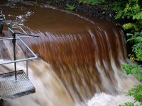
Pitlamp said:Fair comment - I'd have thought it was actually moving faster at the surface rather than nearer the sides / bottom of the stream, where frictional forces would slow the flow.
So yes - this method only provides an estimate.
I believe the fastest flow is actually just below the surface (which is apparently significant in terms of floating on a river in a buoyancy aid vs treading water without one), but broadly yes. And obviously flow is fastest around the outside of bends.

 or ignored