

In the 80's and 90's programmable calculators were used on all the expeditions I went on. You imputed the length, bearing and clino readings and you got out easting, northing and elevation (XYZ) co-ordinates. These were then plotted out on graph paper and formed the basis of the finished survey. Things have moved on a bit since then, but I used to enjoy that method of surveying and drawing up.
Anyway, I came across two old survey calculators from that era in the bottom of a draw. I imagine they would work if the battery was changed. Anyone have a use for them before I throw them out.
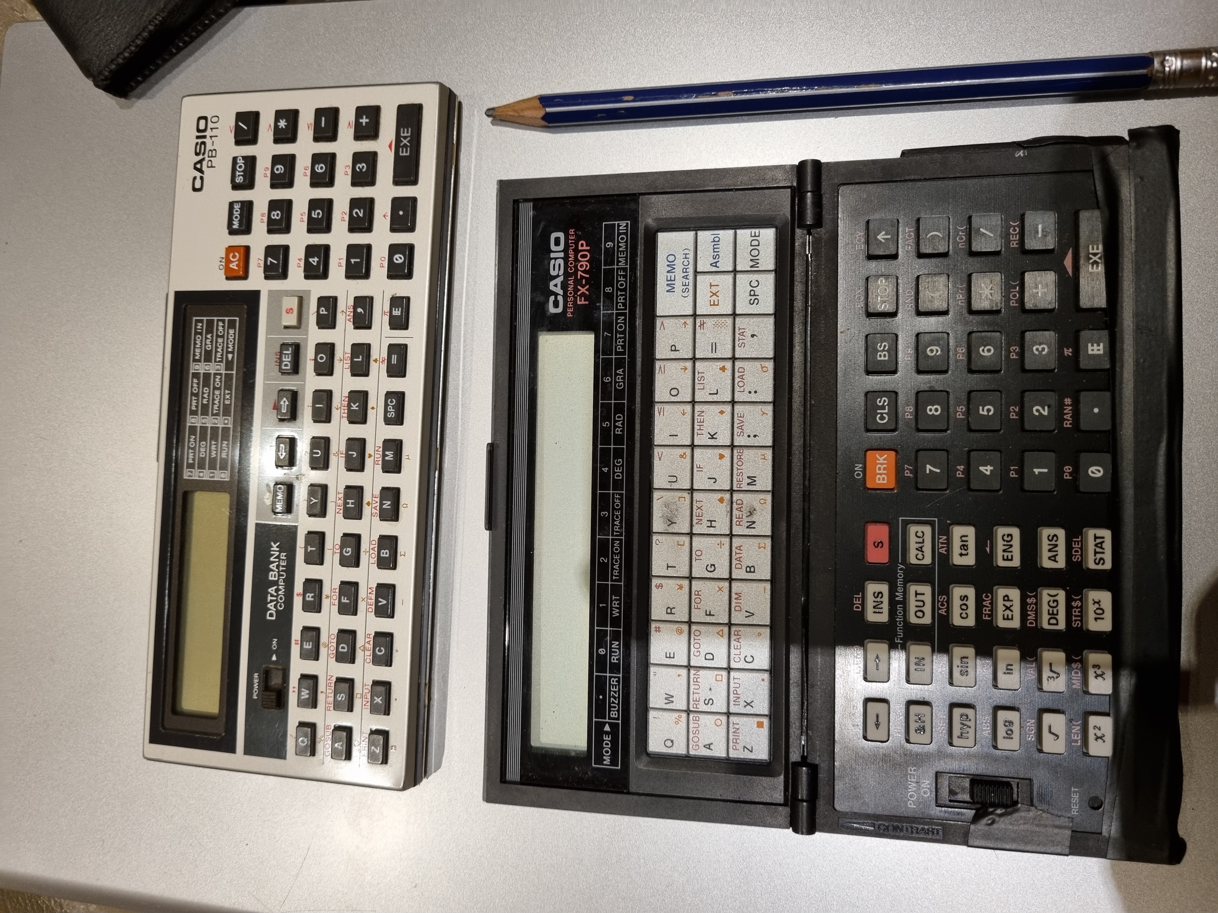
Anyway, I came across two old survey calculators from that era in the bottom of a draw. I imagine they would work if the battery was changed. Anyone have a use for them before I throw them out.
")
