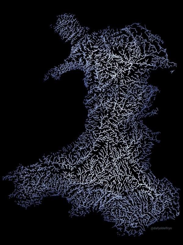
Came across this wonderful map of Wales, showing all the rivers. It's more like a work of art --- and it explains where all that rain goes, and why Wales is so green.....and has some superb caves under it...
I'm reposting photos that were on Photobucket (bastards) and are now on our server - came across this one and thought I'd bump it as it's so cool - need the motivation, this is a tedious task, bear with me
Is it just Wales that's been done, or is the whole of the UK available (or, indeed, anywhere else . . . but I guess the Sahara would look pretty boring)?
")