

hornbydd
New member
I popped my head into the cave surveying meeting at Hidden Earth this weekend. It was well attended, although I missed the beginning the talked moved on to all things GIS. I'm a GIS trainer/analyst/developer specialising in ArcPro.
Discussion was focussed on QGIS and I remember Wookey saying they should be using GIS smarter.
Well it does not get get smarter than this, a plugin that uses AI to help trace off maps in pdf/image format.
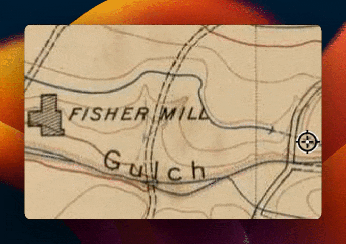
Lost the survey data, only known map of the cave is some print/scanned pdf? Then this plugin could help you convert it into a 2D spatial dataset.
 buntinglabs.com
I thought I would bring it to your attention, if you did not know about it already?
Discussion was focussed on QGIS and I remember Wookey saying they should be using GIS smarter.
Well it does not get get smarter than this, a plugin that uses AI to help trace off maps in pdf/image format.
Lost the survey data, only known map of the cave is some print/scanned pdf? Then this plugin could help you convert it into a 2D spatial dataset.
Introducing our QGIS AI Map Tracing Plugin (January 2024)
Announcing our QGIS plugin, the most technologically advanced QGIS vectorizing tool in the toolbar.
I thought I would bring it to your attention, if you did not know about it already?