bill chadwick
Member
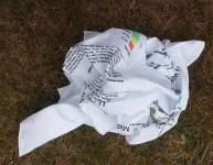
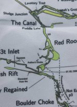
To commemorate the 10th anniversary of the big breakthroughs of 2006, we have commissioned some Splash Maps of Upper Flood
They are printed on stuffable and washable fine weave cloth - see here http://www.splash-maps.com/cave-maps/
Cost is approx ?15-16 each (20 off). They are printed at a scale of 10cm = 100m.
Whilst Upper Flood does not pose significant navigation issues I think that a SplashMap of say the OFD through trips or Three Counties system would be great.
Bill


