The Mendip Hills are a wonderful and an usual place. They have their genesis some 340 million years ago when the carboniferous limestone was laid down in warm tropical seas near the equator. The British Isles are part of a northward continental drift that one day may take us to the North Pole. In geological terms the known Mendip caves are relatively young as is the denuded plateau we know today. To understand caves you need to be able to relate them to the landscape and climate changes that have occurred over the last million years as well as the geology. That is very difficult as to us everything seems so static yet it is in a continual pattern of change. 250 million years ago the Mendips were a Triassic desert mountain a kilometre high. There are infilled wadis on the plateau and much Triassic material on the flanks. Lateral pressures pushed the limestone up to form the four denuded periclines that we know today. Indeed the pressure was so much that an upfold was forced up along the SW flank of the hills to form The Southwestern Overthrust. Vurley Swallet lies close to this and may even be on one of the subsidiary parallel faults. Unlike the classic Mendip cave model ( down dip ) Vurley will have to depart the Overthrust and travel along strike to reach Cheddar. ( If indeed that is where the water goes.). Vurley is not expected to emulate the Mendip classic mode of formation whereby swallet streams quickly reach the phreatic zone to enter deep flooded passages.
Reservoir Hole may have its origins some 700,000 years ago when High Country was actually the master cave ultimately truncated by Cheddar Gorge. Contrary to most casual observations the gorge is youthful and possibly only 150,000 years old. It is an anomaly and the only effect that it has had on cave formation is to lower base level and truncate the fossil passages . So it is possible that Goughs was once connected to Cox's Cave and the risings were higher at Long Hole and Great Ooones though they probably ceased to be a resurgence before 350,000 years ago. That prior to the long glacial maximum 280,000 to 330,000 years ago. In fact over the last 600,000 years sea levels were 100 metres plus lower than they are today on at least four occasions. Our separation from the continent at the last time being only some 12,000 years ago.
Stanton identified about 16 closed karst basins most of which are aligned along the Overthrust. The one at Vurley is closest to Cheddar Gorge and has an over spill col at one end leading to a dry valley in the escarpment. Little work seems to have been done in determining the basins age or development. In periglacial conditions the basins likely held lakes with the frozen ground unable to take drainage. At some point maybe 15,000 years ago loess blew in to be deposited as a sediment 7 metres deep within the basins effectively sealing any caves . Subsequent collapses within the sediments hint to voids beneath. We never thought Vurley to be a true swallet and were amazed to see the volume of water cascading down the entrance pipes in times of flood. Basically this comes as overspill from a nearby pond which I take to be artificial as there are several such dew ponds in the area. Previously this water must have sank though the loess but now we have a conduit drainage will be more effective. ( Resulting in the need to massively support the immediate area under the pipes which is an ongoing process.)
The upper parts of Vurley seem to be %50 boulders and %50 solid rock. Stalagmite formation seems to be almost non existent though large lumps have been found in the boulders suggesting various phases of development. Possibly some of the chambers were part filled with in washed loess which seems to be in the process of removal. Areas of river born gravels can be seen in some areas. Bone fragments were found at at about 12m depth and again much deeper at around 40m depth. The latter were tiny and might have been avian. Suddenly at around 66m depth the cave enters solid limestone and completely changes character. We still have not had time to evaluate this area properly due to the CO2. For the next 60m the cave becomes vertical. In Summer this area pretty much dries out but in Winter becomes very wet. Numerous small and sometimes vertical vadose trenches testify to the corrosive power of the water which has picked up CO2 in the deep soils . The first pitch seems to have been entirely formed by drip and is aligned along a fault before the passage runs down dip to the next pitch. At around 110m depth the vertical cave passes through the cobble layer near the base of the Clifton Down Limestone. The cobbles are very well exposed and indeed friable here making the climb a little hazardous. Quite probably this is the same layer seen in the passage roof between Goughs Sump Two and Three. The layer is also poorly exposed in the cliff face opposite the landslip quarry in the gorge. At around 140m depth there appears to be large scallops which may correlate with a developmental stage in Reservoir Hole. Vurley bottom ( as yet unentered ) still has some 50m to go to reach the current base level at around 28m. Vurley has a total depth potential of close to 200m. So currently Vurley is unique on Mendip being the only cave to reach a considerable depth within a closed karst basin. There is a temptation to think that others exist and could be linked by deep water flow along the Overthrust with Vurley the last in line. Much depends on where the Vurley water goes. It could discharge through springs in the Triassic escarpment or take take the longer route along strike within the limestone to emerge at Cheddar. Clearly there is a lot more interpretation to be formed and this view is merely that of an enthusiastic amateur.
I really did not mean to depart from the thread in a long textual way but there it is done now and maybe it has put some of the images into context. Maybe also it will give a clearer insight into the cave's development by others more erudite than I


 Nigel Cox in La La Land by Nicholas Chipchase, on Flickr
 La La Land by Nicholas Chipchase, on Flickr
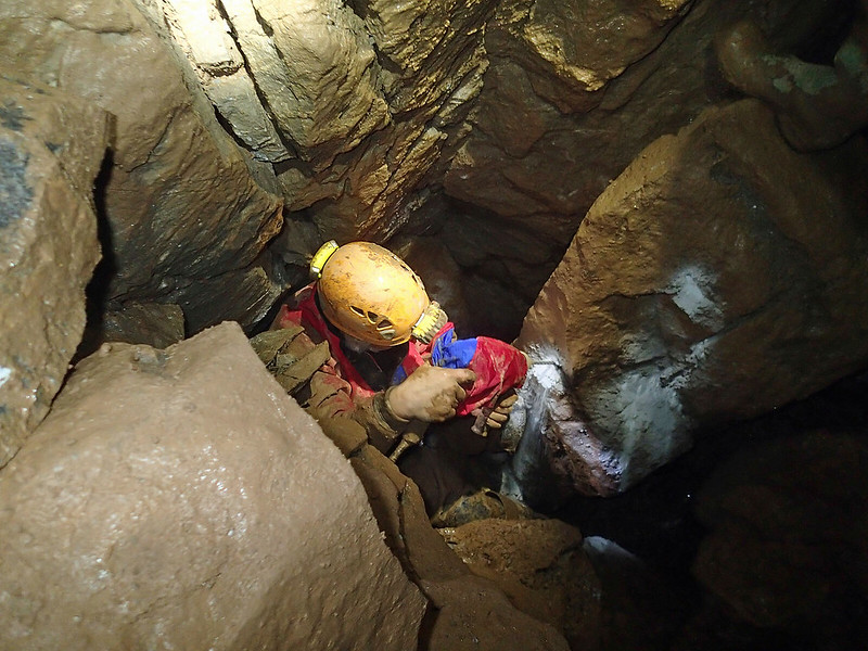 Tony Boycott in La La Land. by Nicholas Chipchase, on Flickr
 La La Land by Nicholas Chipchase, on Flickr
 Vurley collage. by Nicholas Chipchase, on Flickr
 The Egg Timer. by Nicholas Chipchase, on Flickr
 Vurley. Deepest point to date. by Nicholas Chipchase, on Flickr
 Phantom Sandwich Snatcher. Vurley. by Nicholas Chipchase, on Flickr
 " Rob " by Nicholas Chipchase, on Flickr
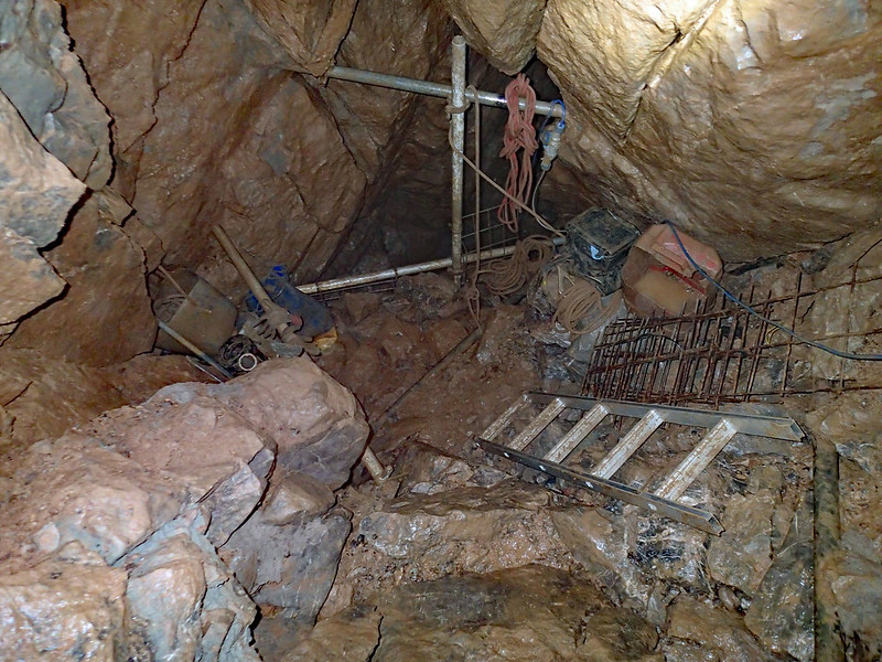 La La Land by Nicholas Chipchase, on Flickr
 Vurley by Nicholas Chipchase, on Flickr
 Vurley by Nicholas Chipchase, on Flickr
 Vurley by Nicholas Chipchase, on Flickr
 PB140042 by Nicholas Chipchase, on Flickr
 Vurley. by Nicholas Chipchase, on Flickr
 Vurley red rock in situ 70m down by Nicholas Chipchase, on Flickr
 Terminal choke now collapsed at Vurley. by Nicholas Chipchase, on Flickr
 Choke with stream below about 70m down in Vurley. by Nicholas Chipchase, on Flickr
 Chris Milne. Vurley by Nicholas Chipchase, on Flickr
 Odd rock from 70m down in Vurley by Nicholas Chipchase, on Flickr
 Pitch below The Egg Timer. Vurley. by Nicholas Chipchase, on Flickr
 P3040207 by Nicholas Chipchase, on Flickr
 Small unentered streamway at Vurley. by Nicholas Chipchase, on Flickr
 Vurley by Nicholas Chipchase, on Flickr
 Peter Glanvill. Vurley by Nicholas Chipchase, on Flickr
 Vurley by Nicholas Chipchase, on Flickr
 P1300023 by Nicholas Chipchase, on Flickr
 Vurley by Nicholas Chipchase, on Flickr
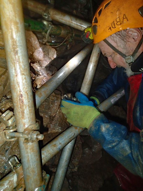 Vurley by Nicholas Chipchase, on Flickr
 Mac and Tony in Vurley. by Nicholas Chipchase, on Flickr