Cavematt
Well-known member
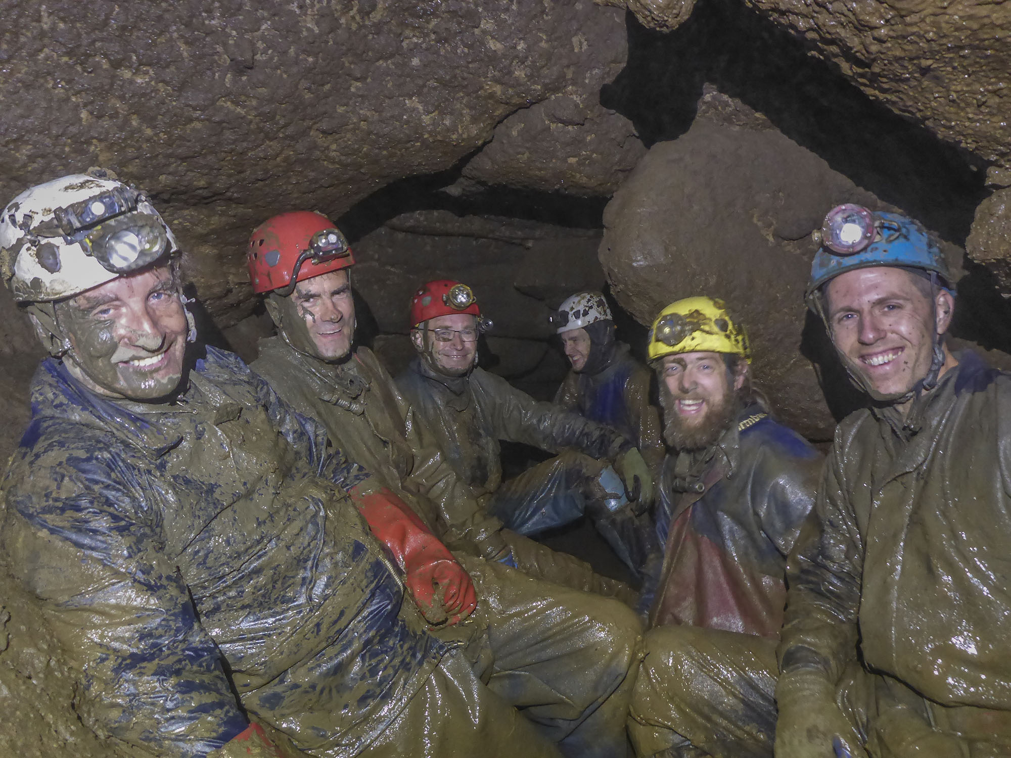
Many of you will have seen the latest Descent article about of our recent exciting discoveries in the North York Moors. Things are moving rather fast on this, and another Descent article will be put together once surveying is finished. For now (assuming anyone is interested) here?s a recap and an update on progress since the article was submitted a month ago.
Overview of the Caves
Excalibur Pot: Discovered in 2007 by digging at a flood-overflow sink of Hutton Beck. Comprised an extensive upper system, and a major underground streamway carrying Hutton Beck a fraction of its way from the upstream sinks to the resurgence at Bogg Hall Rising, a mile south. The water is lost, still 1km from the resurgence, into impassable underwater fissures.
Jenga Pot: Discovered in 2013 at a sinkhole 400m downstream of Excalibur Pot. No continuous streamway (except for the recent discoveries) but a very hydrologically active system when the river floods to the entrance, with water entering the cave in several locations and lost in several places into an impassable lower level bedding complex, also resurging at Bogg Hall Rising.
Excalibur Pot and Jenga Pot were connected in 2015, total system length 2.8km.
Bogg Hall Rising and Cave: The resurgence for the Excalibur/Jenga water, as well as water sinking in the River Dove (see below). Bogg Hall Cave terminates at a 19m deep pool called ?The Font?, and all water resurges with force from the bottom of this.
The River Dove: Located in the next valley west of the Excalibur/Jenga system, this much larger river also sinks and resurges at Bogg Hall Rising but without the 30m vertical range of the Excalibur/Jenga system. Two entrances, Guinevere?s Slit, and downstream of that, The Well, both dropping straight into sumped passage, each dived downstream for 50-60m to underwater chokes.
The Jenga Sumps - Pre-2020 Background
Everything we were learning pointed towards an undiscovered (possibly now abandoned) Master Cave associated to Jenga Pot. We became increasingly convinced that the key to this might be the static sumps at the southern end of Jenga Pot. Sump One (15m) was pumped this back in 2014-2015, leading to a dry rift/chamber, Dinosaur Penis Bone Chamber. Across the chamber, Sump Two thwarted our efforts and was left alone for five years while we persued other projects. Fast forward to summer 2019, we installed a second pump (both powered from a generator on the surface) and pumped Sump Two, which turned out to only be 5m long 2m deep, rising up into 15m of dry passage leading to... you guessed it... a third sump. With the onset of winter and the associated flooding this would need to wait until spring.
The Breakthroughs
See August Descent magazine for the full story. The following is a very abbreviated summary.
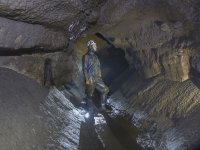
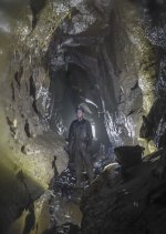
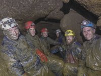
Lockdown delayed resumption of work in 2020, but in June, we installed a third pump at Sump Three. By 24th June, we had pumped that out too, and it was only about 6m long and 1m deep, rising again into spacious dry passage beyond. The three of us on pumping duty that day were treated to a glorious walk along a 3-4m tall passage with formations, running for about 50-60m beyond Sump Three. At that point we turned around to wait for other team members next week. This looked likely to be our first breakthrough in five years, and these things are best shared (with appropriate underground social distancing of course).
On the 1st July, we explored onwards into another 200m of cave to reach a junction with a small stream emerging from a flooded passage (Sump Four). Downstream, a further 70m of stream passage brought us to a junction with two ways on. Left (downstream) leads for another 100+m took us to the spacious downstream sump (Sump Five). Right, away from the stream, led through at least 100m of crawls and stooping height passage to a large aven/chamber. Beyond here, some canals reached a lower section where initial exploration ended for the night.
With the Descent deadline imminent, the article was put together the following day with some rough-and-ready photos, and Chris and Judith, as you would expect, worked wonders with it. We had estimated 500m of new cave in the article, although we managed to slip in a ?late news? update to upgrade this to 700m following a rough line survey the following week which revealed us to have underestimated the distances.
Subsequent July Discoveries
We have now been down there every Wednesday since the breakthrough, and the weather has been kind. Being near the east coast, we get much more settled weather than the west. The right-branch passage has yielded the most exciting discoveries since the Descent article. The following week, we returned to the end of this and pushed it 20-30m further than the previous limit, including via a 1m deep pool with a small mud-choked inlet entering on the right. On 29th July we were back to try to make some progress up this mud-choked inlet... The following is an abbreviation of my dig report from that evening...
__________________________________________
After faffing on the surface for a while with the generator, just Sparky and I headed underground. We were pleased to see Sumps One and Two empty, the genny having cleared them even before we got down there. Straight through to Sump Three, this had only pooled about 8 inches of water since last week and would have been passable straight away, but we decided to switch the power and get it pumped out nonetheless, which took only ten minutes. Through Sump Three, we made rapid progress through the cave collecting a spade on route, and along the right branch to the mud-choked target inlet.
The inlet was partially blocked by mud embankments and it didn?t look quite as hopeful as I?d remembered. Within five minutes though, Sparky had churned out enough sandy mud to allow us to slither forward along the passage. It was diabolical gloop, but the good news was that it opened out into much better proportions ahead, so the spade was abandoned.
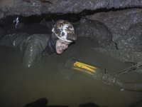
The passage soon became a low crawl in drier sandy mud, gradually getting larger and developing a clean-washed scalloped floor. After about 50m of easy crawling, it abruptly narrowed and sloped down to a discouraging looking pool of water. I immediately assumed that this was a sump. However, on inspection, it was a static pool, and the passage carried on flat-out with 4-5 inches of airspace. This looked ominous but we weren?t ready to give up. Helmet off and held in front, we pushed on into the pool. There were lots of cherty nodules coming down from the roof, which made navigating a course through the water a little tricky. After about 8m, the ceiling started to rise up and we were back into a more comfortable sized passage.
Continuing onward as easy crawling, evidence of flood debris became more abundant. Another 50-60m later, just as we were starting to think about turning around and coming back with a larger team, the passage suddenly took another nose dive, dropping 1.5m down a muddy slope into darkness. I thought that this must surely be a sump, but shining my light down, I was greeted with a substantial streamway 2m wide, flowing from right to left (north to south we assumed).
This streamway had far more water in than the stream in the main extensions, and was far more than any other stream we have encountered in the Jenga side of the system. There was only one stream we knew with this much water... Excalibur... and our estimated location seemed about right in terms if intercepting the route of this somewhere between where it is lost in the Excalibur Main Streamway, and the resurgence at Bogg Hall Rising.
Upstream about 20m of very aquatic progress reached Sump Six! Downstream the passage became a low and gnarly thrash in the water reminiscent of Bogg Hall in places. The actual stream passage was 2m wide, but the roof was low and chert projections created a slalom. Progress was mostly helmet off, partially floating downstream. After about 25m we turned around as it was getting late, and the way on seemed to require some chert removal with a crowbar, which we were lacking. Plus, it?s always good to leave something for next week.
__________________________________________
August Developments
Our most recent session on 5th August pushed the downstream continuation another 30m, via an extremely low airspace duck to a 1-2m deep sump (Sump Seven) with large underwater passage continuing.
Although that completes the last 'open' dry lead in the cave, there?s still loads to do, including the high-grade surveying which commences next Wednesday. There are four sumps for our diving contingent (Adele Ward, Ian Dawson) to explore, and many much-needed experiments get a better understanding of where the various streams are going and whether the new stream is indeed the Excalibur Pot water. We are going to be busy! Plus there are a few very good looking dig throughout the new extensions, and the survey will no doubt help to guide these.
Total new passage length explored in July should exceed 1km (total system length at least 3.8 km).
Keep tuned to Descent magazine for a further article with all the discoveries once the survey is complete.
York Caving Club
North York Moors Caving Club

