Been talking to one of my mates down the pub, he's a team leader on one of the local line maintenance gangs, he also has a numerically retentive brain. He recited a lot of numbers at me regarding the exact location of the inlets into the tunnel, based upon his information I got out the old slide rule and crayons, the results might interest some of you;
Lets start with the overall geological map of the area;
This gives a general idea of the gritston/limestone boundary and the area we are interested in (marked in red as inset1), in relation to other features, Wormhill risings are unfortunately on the adjoining map, about 1Km south of the indicated point.
This brings us to inset 1;
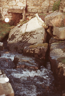
The tunnel is marked as the diagonal red line, about two thirds along to the southeast is an orange spot, this is the location of the inlets calculated from figures given to me and remarkably sits right on the junction between the softer white limestone and the harder dark limestone of the Monsal Dale beds, this hardness difference could be the factor which governs the flow in this area, general dip is gradual and to the North.
I have superimposed known caves onto the map to give some impression of the possibilities, the surveyed section of Cowlow Pot stops at a sump about 30m short of this boundary and about 250m from the inlets, but with the inlets being too tight, I don't see any point in pushing down there.
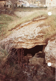
According to most reports, there are at least three inlets in the tunnel, this suggests each swallet reaches there seperately so to get accessible passage we need to look downstream to the north. Two possibilities stand out; Dove Holes cave and Bull Ring cave, both of which appear to be on or very close to the dark limestone boundary. Dove Holes cave is very close to the tunnel and may be the top end of Dove Holes Tunnel cave no.5 (C.O.P.D.), which ascends a total of 10m on the downstream side, with the calculated altitude of the inlets at 290m and the spot height of the church beside the cave at 331m this will give you 31m of vertical digging to end up in a railway tunnel, although it also gives you 31m to find horizontal development !.
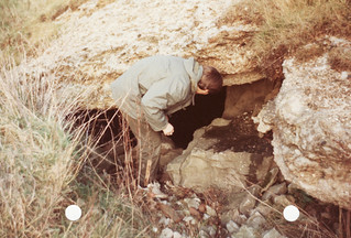
Bull Ring cave looks like a promising prospect but 41m vertical in glacial crap is a long term commitment.
Over 1km north, beside the road junction at Barmoor Clough roundabout, someone opened up a shaft in the general position of the dark limestone boundary, there could be some related development down there, I don't know who it was (or is) but it could have been done with some insight.
As I have noted previously, the ebbing and flowing well at Bennetston stopped operating when they drove the tunnel, this is almost 2km away along the dip but sits on a knoll reef across the relevant dark limestone boundary.
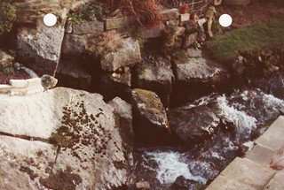
On to inset 2;
This is a further enlargement of the area immediately around the inlets, additional points of interest are the small knoll reef and the minor mineral vein both situated downstream and straddling the dark limestone boundary.