• CSCC Newsletter - May 2024

    Available now. Includes details of upcoming CSCC Annual General Meeting 10th May 2024

    Click here for more info

Caravans at Pin Dale

bograt

Active member
I think the dyeing was a superb idea, the public are soo thick!.
However, this is O.T. :ras: :thumbsdown: :thumbsdown:
 

pwhole

Well-known member
I think Pindale Old Engine shaft is within the quarry, though I also think it may be covered/buried. Pindale End mine (or Old Engine) workings run under much of the west side of the quarry, but that may well be already protected indirectly by the scrin scheduling).

Had a quick chat with Alan M today who's obviously objecting for a multitude of reasons and far better placed than I to make judgement on the issues, but the extensive mine-workings around there can hardly be tabled as 'unknown'. They've been there since the 1400s at least. This article by Chris Heathcote lists the Pindale workings and Fig.7 has a simple map of main points of interest here:

http://www.pdmhs.com/PDFs/ScannedBulletinArticles/Bulletin%2014-6%20-%20Surface%20Remains%20of%20the%20Pindale%20Area,%20Castle.pdf
 

martinm

New member
I've just had a look at the Castleton SSSI boundary map and Pindale definitely lies outside it. (To the East.) Unless the boundary has been changed in the last few years, which is unlikely.

Mel.
 

tony from suffolk

Well-known member
Cave_Troll said:
I believe this to be the same people who own run the "Caravan park in a Quarry" in Buxton (Grinlow)
however the access roads for that site are much bigger.
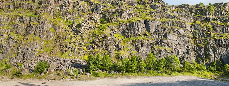
If the proposed developers of the site are the same people who run Grin Low it will be the Caravan Club, a most reputable organisation with (I believe) charitable trust status.

There's no way they will adapt the quarry for caravans if there is likely to be a danger to their members, and they have good "Green" credentials for their sites, so perhaps we shouldn't be quite so concerned.
 

bograt

Active member
If you go into Magicmaps and select the relevant filters, the west (Castleton) side of the quarry is a listed monument  (Pin Dale scrins, or lead veins listing entry 1017651, monument no.30956), this area is also agreed access land under CROW, the whole of the quarry is SSSI under Dirtlow Rake and Pindale SSSI.
 

Jenny P

Active member
I have put in a comment on behalf of DCA which makes reference to the known caves in the quarry and also to the risk of pollution of underground watercourses should the Package Treatment Plant soakaway fail or the run-off water soakaways fail to contain oil, petrol & diesel spillage on the hardstandings at the proposed site. 

In the application document there is reference to flood risk and discharge from a soakaway being "... within 20 meters of watercourse, (e.g. river, stream or beck ...) - not relevant where there are cave passages below the level of the soakaway.  The final discharge from the Package Treatment Plant is also intended to go into a soakaway.

Rob Eavis has also put in a detailed comment re. the caves which I have endorsed in my comment, which has been copied to DCA Conservation Officer, Natural England, etc.

Jenny Potts,
DCA Hon. Sec.
 

martinm

New member

pwhole

Well-known member
The course of Pindale Sough also runs from at least Siggate Head workings down under the quarry and through the sole of Pindale End Mine - its course is slightly off-north into Peakshole Water in the next field. As far as I know that sough still drains, so presumably that watercourse would potentially be affected by spillage pollution - especially if it conducts what would otherwise be contained soakaway into the river, and thence into the Derwent at Bamford. There's trout in all those rivers, as the local fishing club will no doubt attest to...;)
 

Jenny P

Active member
Did anyone make these points to PDNP in reference to this plan?  It's really important and I didn't have any idea about this so didn't mention it and Rob Eavis didn't either.

Best thing is to ensure that Natural England and E.A. both know as they will have some input into this application 'cos it's in an SSSI.

BTW, the PDNP website appears to be blocked as from about midday today when I tried to log on to see if any more comments had been made.
 

bograt

Active member
pwhole said:
The course of Pindale Sough also runs from at least Siggate Head workings down under the quarry and through the sole of Pindale End Mine - its course is slightly off-north into Peakshole Water in the next field. As far as I know that sough still drains, so presumably that watercourse would potentially be affected by spillage pollution - especially if it conducts what would otherwise be contained soakaway into the river, and thence into the Derwent at Bamford. There's trout in all those rivers, as the local fishing club will no doubt attest to...;)

Please get  this information onto the planning authorities contacts (via the link) I was not aware of this when I put my comments in, I suspect they don't know either!.
 

AR

Well-known member
If needs be, I can pass this information on via the development control archaeologist, Sarah Whiteley - she does already know about this application.
 

bograt

Active member
Haa, Haa, I suspect!!
This is the message you get if you want to put in last minute proposals;

Associated documents
Error! Documents are not available for this FULL application. Authority staff have been alerted and will investigate.

At this time on a Friday evening - -!!


AR

Well-known member
The errors are happening on other applications too, and looking at the messages, I think the content server has fallen over....
 

david3392

Member
As a matter of interest Hope with Aston Parish Council have submitted to the PPPA their formal objection to the proposal on the grounds of 'wholly unsuitable' access. The quarry is not within Hope Parish but the access road is. The Minutes are for all to see on the PC notice board in Hope.
 

pwhole

Well-known member
Here's a crude pano made on Monday evening of the SE face of the quarry, and which is presumably directly above the proposed pitching sites. Note rockpile towards the left, which presumably indicative of the relative stability of the face. Closeup also attached. That's going to take a lof of meshing...

_IGP5750-_IGP5753_sm.jpg


_IGP5750-_IGP5753_sm_crop.jpg


Top