Samouse1
Well-known member
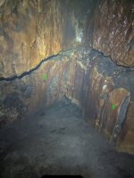
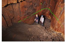
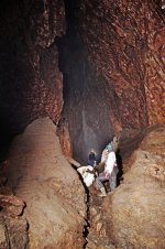
Yes, it definitely flows away down at the bottom there. Obviously there's some restriction that causes it to back up until it overflows into the "main cave"I haven't been down Meregill for years. Does this suggest that the mere water has another alternative route to God's Bridge other than the 'normal' way?