The Old Ruminator
Well-known member
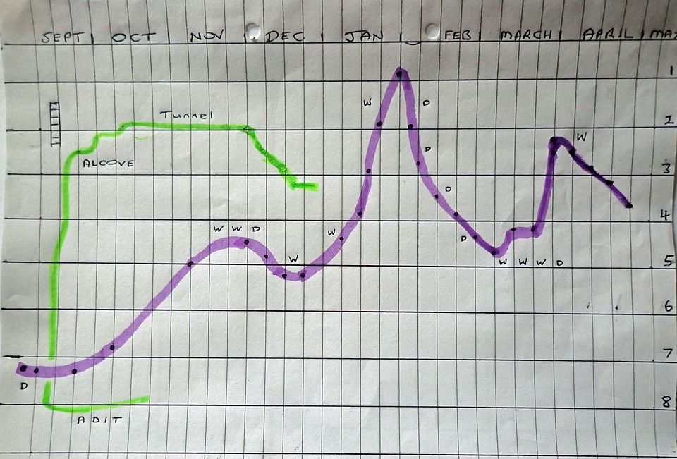
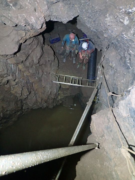
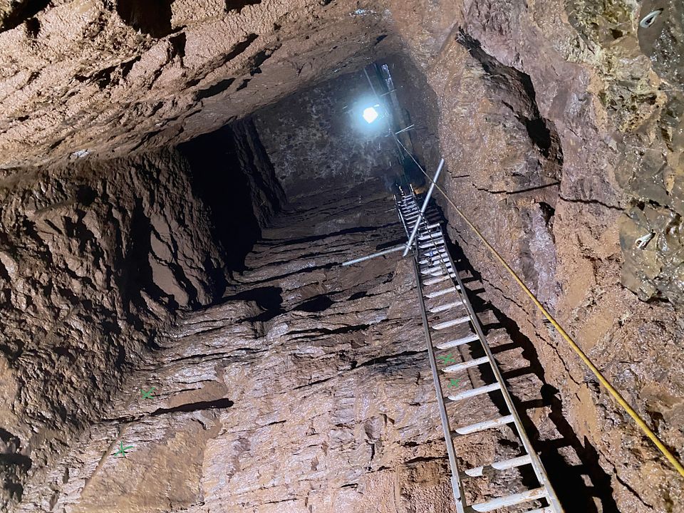
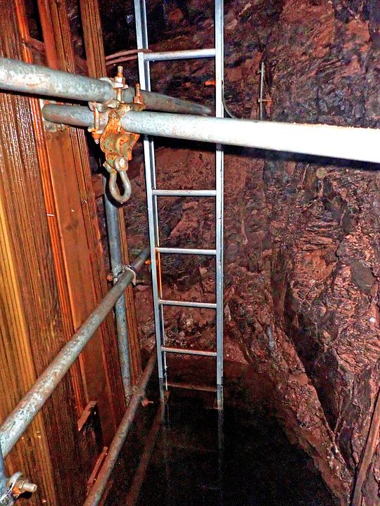
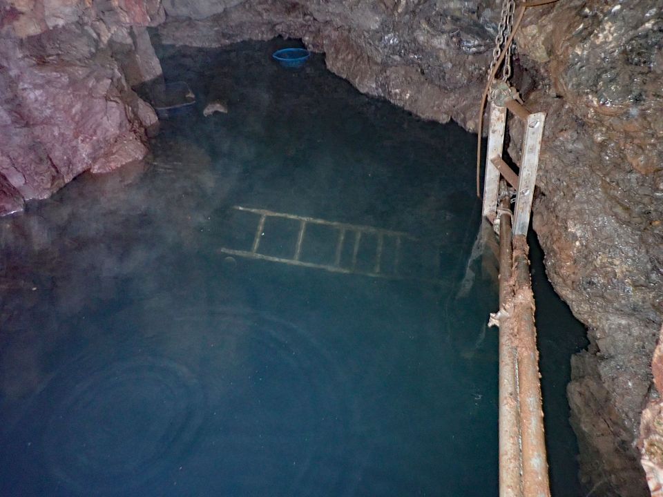
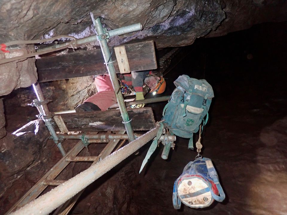
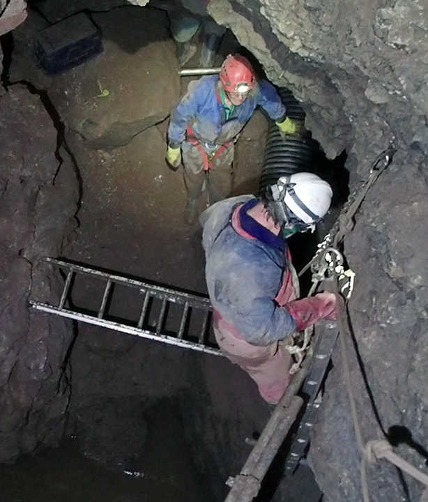
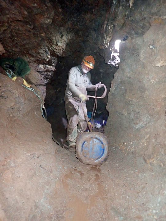
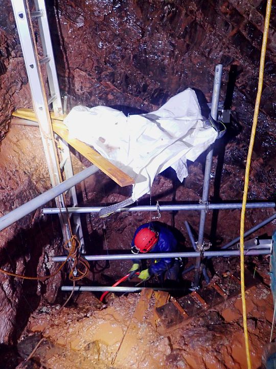
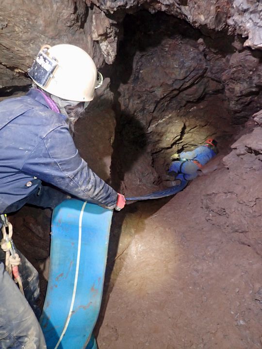
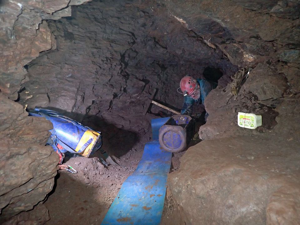
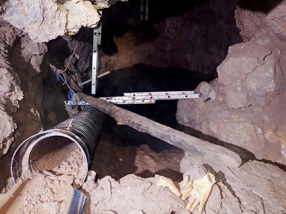
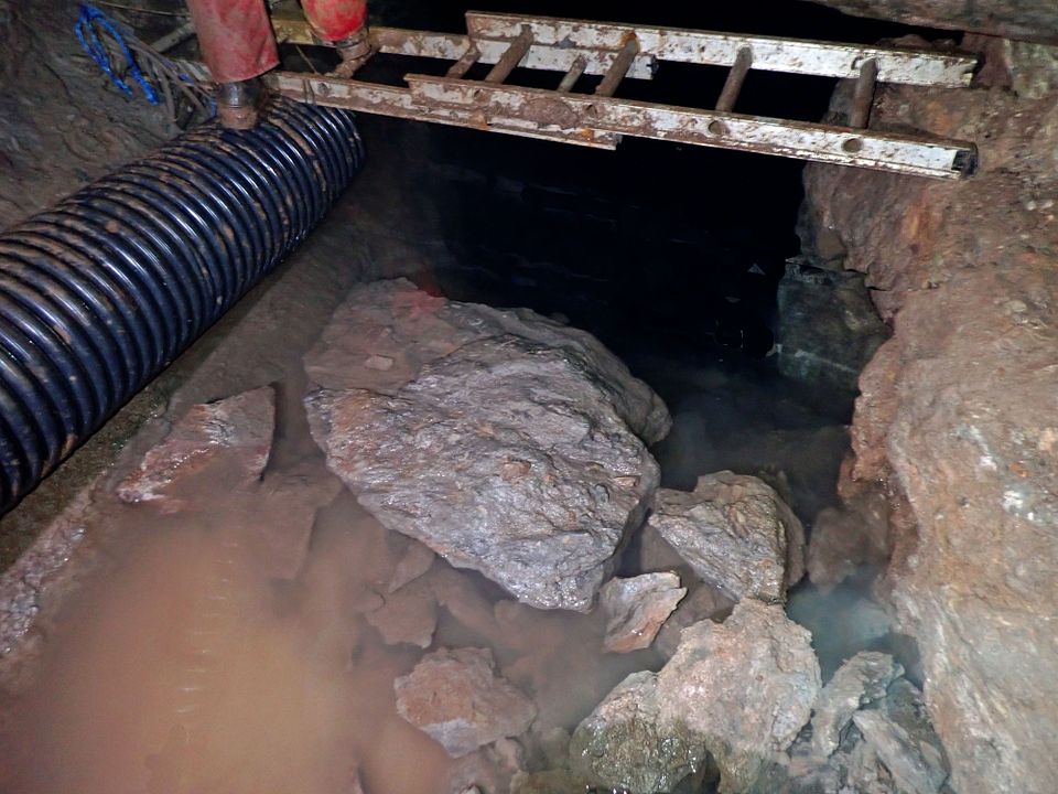
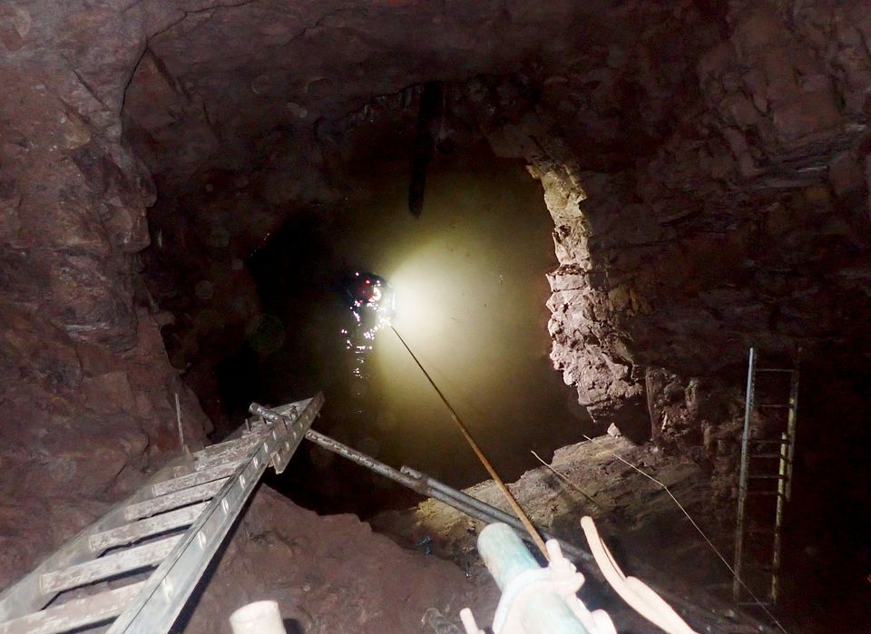
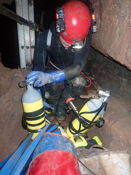
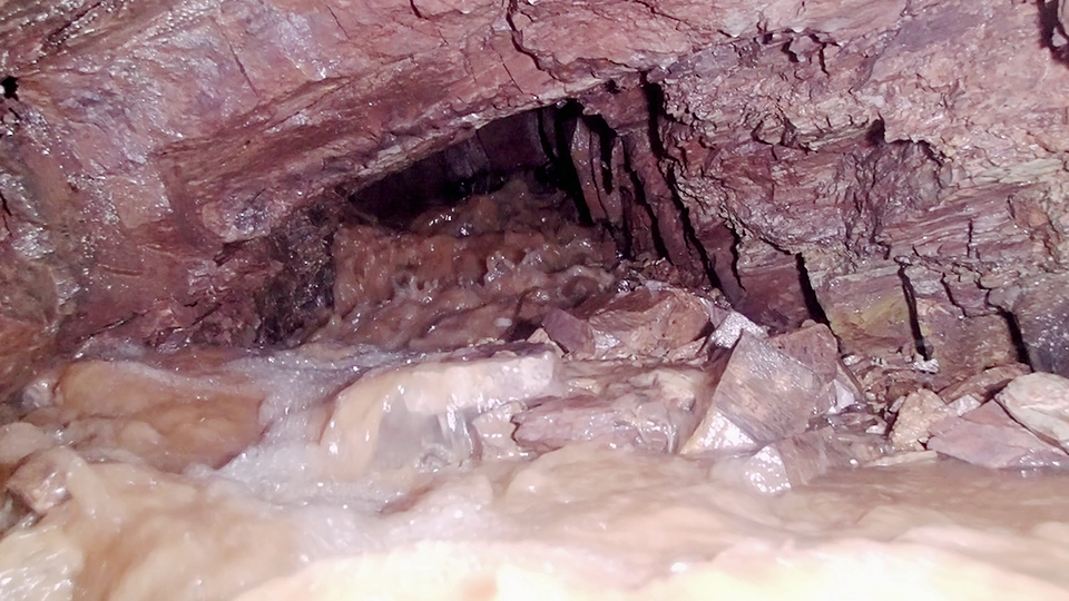
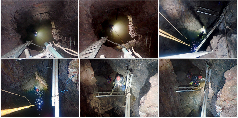
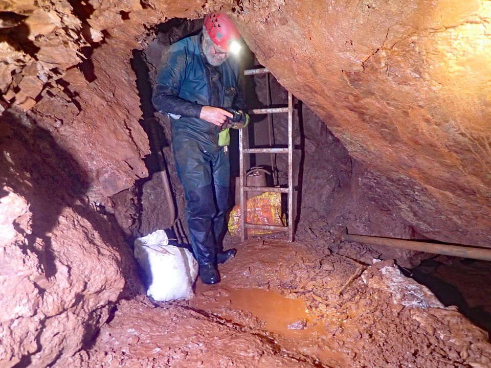
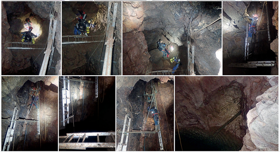
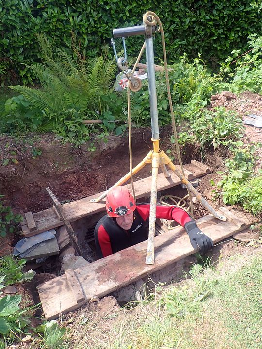
At a site yet to be disclosed as part of our licence agreement. We are two years into this three year digging project. Whilst the focus is on revealing more 200 year old mine and any caverns associated with them I have been running a hydrology project. This entails taking a shaft water level reading on every visit over the last 18 months. Originally the mine was drained by an adit then worked under adit level with the installation of a couple of pumped shafts. Work to clear the blocked adit was abandoned after a serious collapse last October. We have found that the adit still works to a limited degree and continues to drain the mine in dry weather. Our " cavern dig " is at 20m depth so does get flooded out at peak levels. This graph shows the cavern dig, shaft below 20m and weekly water levels. The depths below my fixed marker are on the right. The dig and shaft with the drainage adit shown in green. The adit collapse in October does not appear to have impeded the original flow but continues to act as a valve restricting the drainage. The adit between the two main shafts remains unexplored but last years drought brought us very close to its roof. The actual water level range is close to seven metres. The main input of water seems to be from the second shaft some distance away where sub surface water from the saturated fields above pour down the shaft to a blockage of silt and collapsed timbers below. ( Another dig ).