SamT
Moderator
Hmm - I was going on this survey..
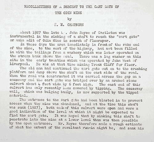
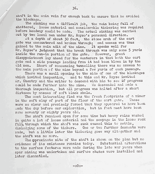
http://www.peakcavemonitoring.org.uk/images/stories/Castleton/odin%20mine.doc
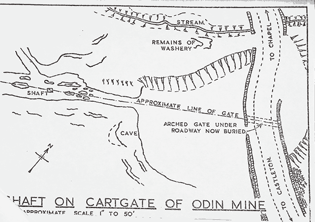
Are you sure you're interpretation of where the bus stop is on the survex file is correct - maybe it starts by the shaft and crushing circle.
Hmm - maybe I'm wrong.
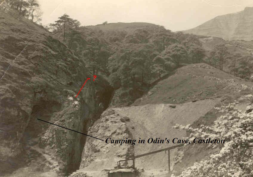
Given that the area is right on the border of the largest active landslip in the UK, it wouldn't surprise me if the original entrance to the cartgate was through shale, and now entirely lost.
http://www.peakcavemonitoring.org.uk/images/stories/Castleton/odin%20mine.doc
Are you sure you're interpretation of where the bus stop is on the survex file is correct - maybe it starts by the shaft and crushing circle.
Hmm - maybe I'm wrong.
Given that the area is right on the border of the largest active landslip in the UK, it wouldn't surprise me if the original entrance to the cartgate was through shale, and now entirely lost.

")